Tag: Urban Planning
Featured
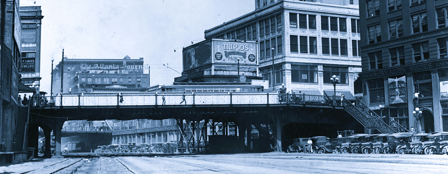
The Elevated City
Atlanta, a new city established by the railroads in the 19th century and transformed by the automobile in the 20th century, was built first for...
Read More

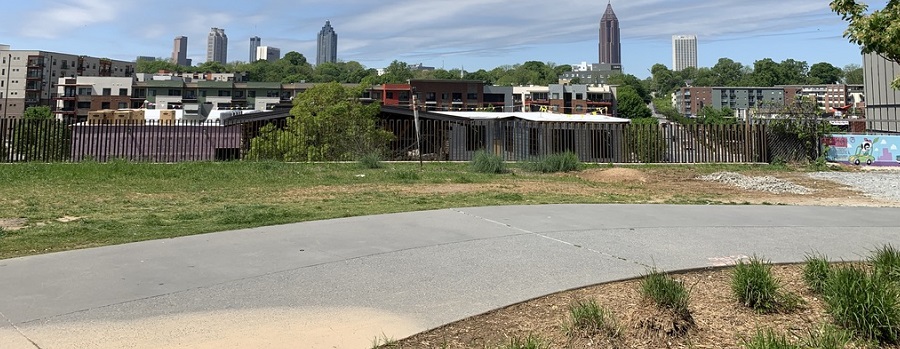
Atlanta Rail Corridor Archive
Archived by the Wayback Machine. Traces the history of the historic rail corridor that is currently under redevelopment as the Atlanta BeltLine. This site showcases...
Read More
Mapping Atlanta
GSU professor Taylor Shelton’s blog exploring all of Atlanta’s oddities and inequalities with maps. Issues covered are fundamentally about geography, about how places are the...
Read More
Planning Atlanta – A New City in the Making, 1930s-1990s
Digital collection of material related to city planning and urban development in Atlanta. The collection consists of city planning maps, city planning publications, demographic data,...
Read More

Atlanta Water Walk
How water has shaped the city. Video tour with urban designer and author Hannah Palmer. Palmer’s writing explores the intersection of Southern stories and urban...
Read More
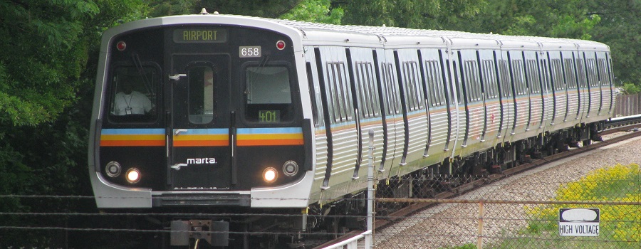
Tracing a History of Atlanta’s Public Transit
Archived by the Wayback Machine. Not all layers or content may load. Created in Classic Esri Story Maps, a platform retired in 2026. This project...
Read More
Beltline: A History of the Atlanta Beltline and its Associated Historic Resources
Prepared by the Spring 2006 Preservation Planning students. This project, developed in a collaborative effort by the Atlanta Urban Design commission and GSU students, was...
Read More

Research Atlanta, Inc. Reports
Formed in 1971, Research Atlanta was a non-profit organization established to study public policy issues affecting the Atlanta metropolitan area. Research Atlanta served as Atlanta’s...
Read More
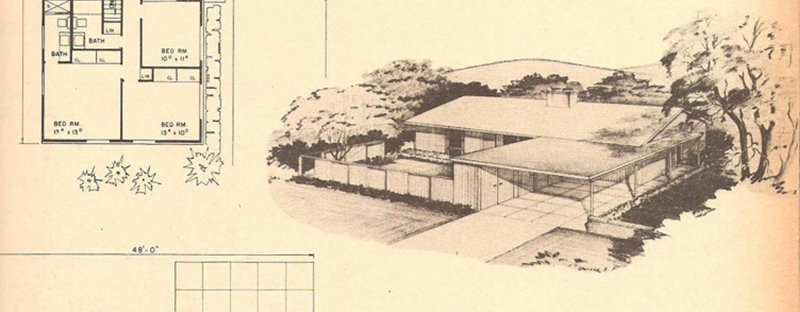
Single-Family Residential Development in DeKalb County, 1945-1970
Focused on suburban residential developments in DeKalb County, Georgia between the end of World War II and 1970 in order to better understand the transformation...
Read More

Heritage Preservation Projects, 1991-Present
The Digital Archive of the Heritage Preservation Program (HPP) available in ScholarWorks @ Georgia State University is a compendium of student projects produced under the...
Read More
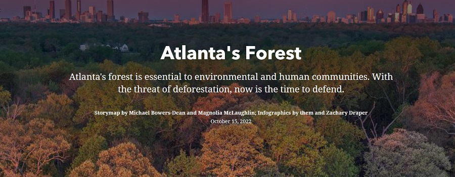
Atlanta’s Forest
Student project from GSU Department of Geosciences. With more than 80,000 acres of tree cover inside the Perimeter, Atlanta leads the nation in urban tree...
Read More
Sprawling of Atlanta: Visualizing Metropolitan Area Change, 1940s to Present
Interactive web map created by Georgia State University Library that invites researchers, students, and the public to visualize the extensive built environment and demographic changes...
Read More