Format: ArcGIS StoryMap
Featured
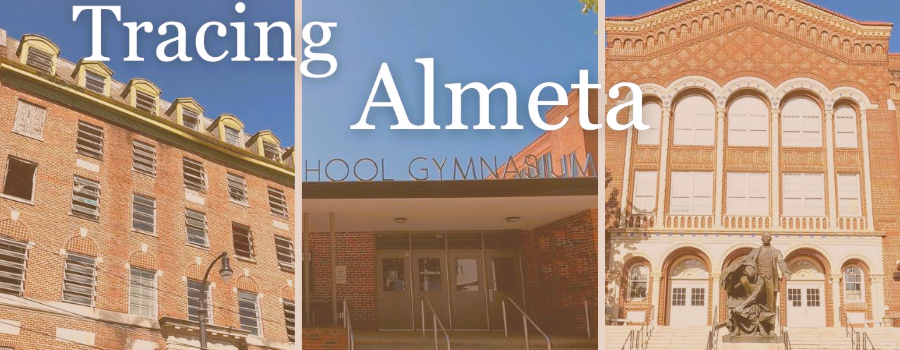
Tracing Almeta
Mapping Atlanta’s Jim Crow Era Women’s Basketball Community. During the era of legalized segregation, Black Atlantans created their own economic, educational, and recreational institutions. In...
Read More
Featured
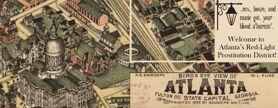
Historic Harlots of Old Atlanta
Digital tour of the rise and fall of the bawdy brothels that lined Downtown Atlanta’s Collins Street from the late 1800s to the early 1900s—showcasing...
Read More

Streetscape Palimpsest: A History of Georgia Avenue
Archived by the Wayback Machine. Scheduled for relaunch in Fall 2026. This digital project that investigates the history of Georgia Avenue, which once served as...
Read More

Tracing a History of Atlanta’s Public Transit
Archived by the Wayback Machine. Not all layers or content may load. Created in Classic Esri Story Maps, a platform retired in 2026. This project...
Read More

Atlanta’s Forest
Student project from GSU Department of Geosciences. With more than 80,000 acres of tree cover inside the Perimeter, Atlanta leads the nation in urban tree...
Read More