Tag: Neighborhoods

Atlanta Rail Corridor Archive
Archived by the Wayback Machine. Traces the history of the historic rail corridor that is currently under redevelopment as the Atlanta BeltLine. This site showcases...
Read More
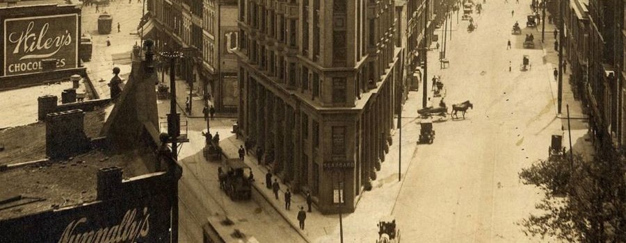
The Histories of Our Streets
Georgia State University students map Atlanta’s past. This website is produced by Dr. Marni Davis and her students at the downtown Atlanta campus of Georgia...
Read More

Rap Map
Celebrating 50 years of hip-hop! The Rap Map visualizes metro Atlanta’s influence on hip-hop and hip-hop’s influence on the region over the last three decades....
Read More
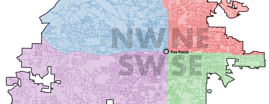
Mapping Atlanta
GSU professor Taylor Shelton’s blog exploring all of Atlanta’s oddities and inequalities with maps. Issues covered are fundamentally about geography, about how places are the...
Read More
Streetscape Palimpsest: A History of Georgia Avenue
Archived by the Wayback Machine. Scheduled for relaunch in Fall 2026. This digital project that investigates the history of Georgia Avenue, which once served as...
Read More
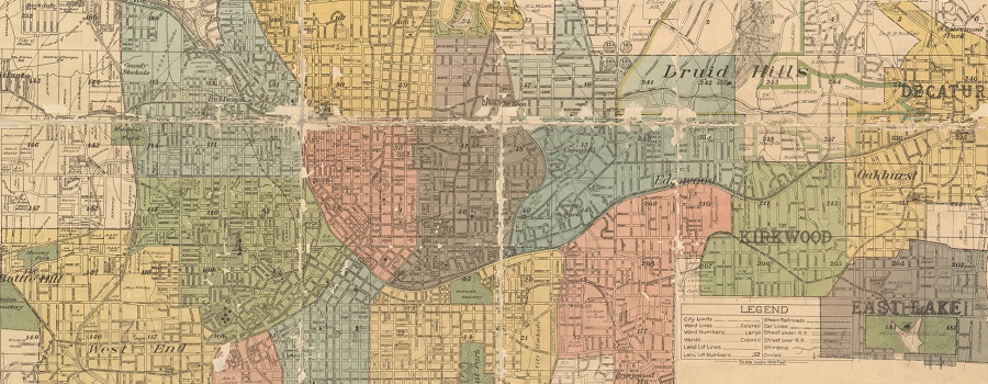
Atlanta-Fulton Public Library Collection: Maps
This digital collection contains digitized versions of items that are owned by the Atlanta-Fulton Public Library. Currently, the collection contains historical maps, dating from the...
Read More

ATLMaps
The ATLMaps platform, a collaboration between Georgia State University and Emory University, combines archival maps, geospatial data visualization, and user contributed multimedia location pinpoints to...
Read More
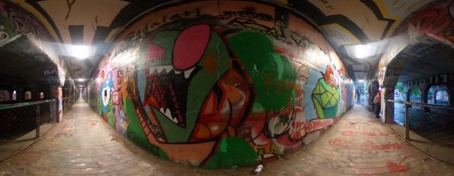
Krog Codex: Archive of Krog Street Tunnel
A Community Interactive Digital Archive. Krog Street Tunnel is one of Atlanta’s premier destinations for street art, political communication, and a community bulletin board. Since...
Read More
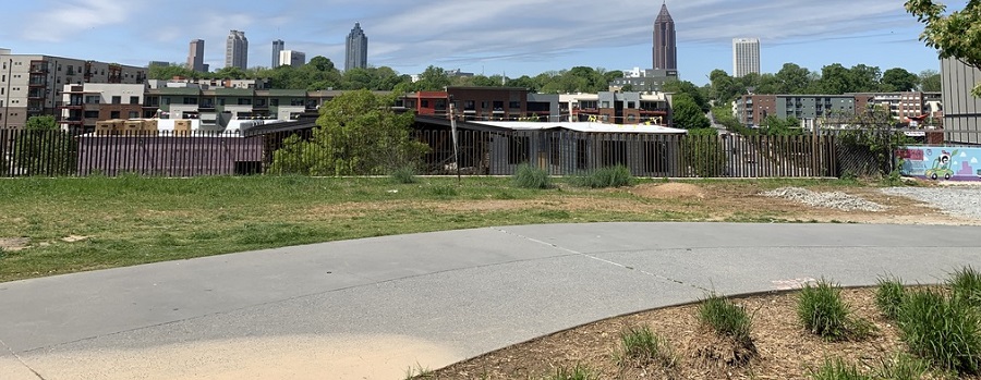
Beltline: A History of the Atlanta Beltline and its Associated Historic Resources
Prepared by the Spring 2006 Preservation Planning students. This project, developed in a collaborative effort by the Atlanta Urban Design commission and GSU students, was...
Read More

Research Atlanta, Inc. Reports
Formed in 1971, Research Atlanta was a non-profit organization established to study public policy issues affecting the Atlanta metropolitan area. Research Atlanta served as Atlanta’s...
Read More
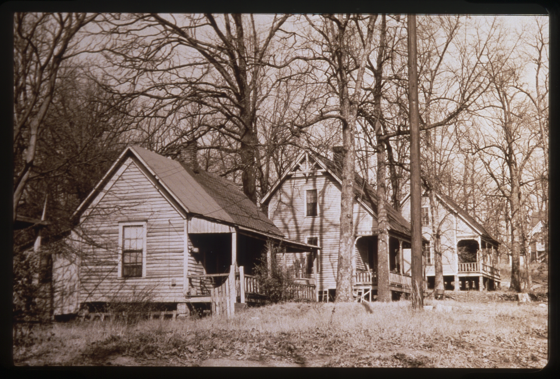
Black Neighborhoods and the Creation of Black Atlanta
Black Neighborhoods and the Creation of Black Atlanta explores the history of Black neighborhoods in Atlanta. It provides an overview of several of these neighborhoods: Summerhill,...
Read More
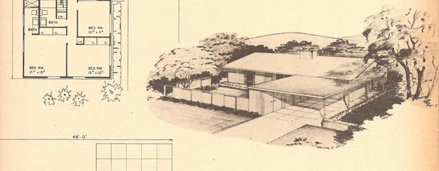
Single-Family Residential Development in DeKalb County, 1945-1970
Focused on suburban residential developments in DeKalb County, Georgia between the end of World War II and 1970 in order to better understand the transformation...
Read More