Tag: Architecture
Featured
GSU Ramps Up: Kell Hall and the Rise of an Urban Campus
Originally Atlanta’s first modern parking garage, Kell Hall began as a 1920s “automobile hotel” and later became Georgia State’s first permanent building, illustrating urban ambition,...
Read More
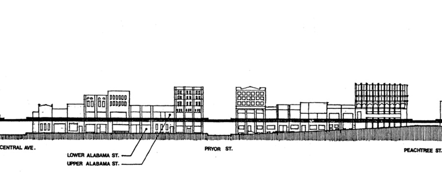
Featured
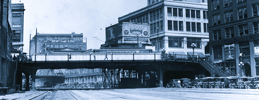
The Elevated City
Atlanta, a new city established by the railroads in the 19th century and transformed by the automobile in the 20th century, was built first for...
Read More
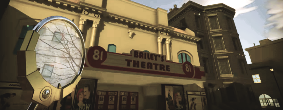
3D Atlanta Chronolens: A Future Peeking Device
GSU student 3D Atlanta visualization project. Here, including a demo of a “future-peeking” device allowing users to see downtown Atlanta streets in 2017, and as...
Read More

Atlanta Rail Corridor Archive
Archived by the Wayback Machine. Traces the history of the historic rail corridor that is currently under redevelopment as the Atlanta BeltLine. This site showcases...
Read More
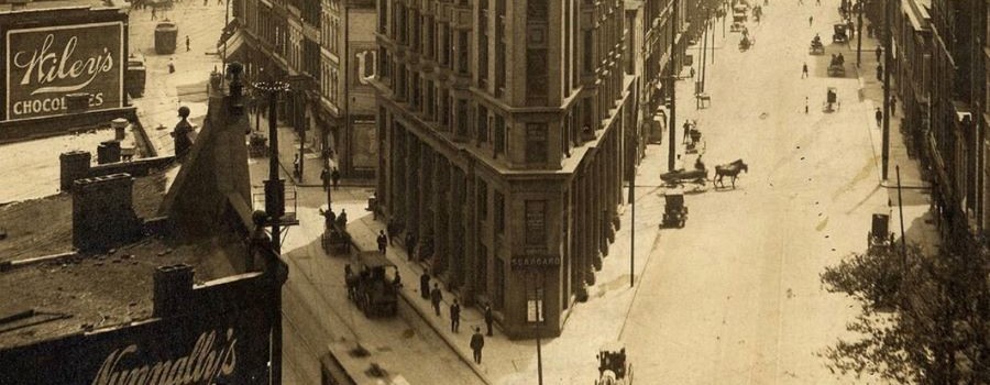
The Histories of Our Streets
Georgia State University students map Atlanta’s past. This website is produced by Dr. Marni Davis and her students at the downtown Atlanta campus of Georgia...
Read More
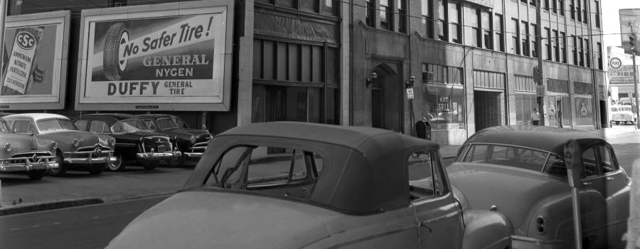
Before Underground
Within Georgia State University Library’s digital collections can be found a series of approximately 100 photographs depicting downtown Atlanta streets in 1927, focusing mainly on...
Read More

ATLMaps
The ATLMaps platform, a collaboration between Georgia State University and Emory University, combines archival maps, geospatial data visualization, and user contributed multimedia location pinpoints to...
Read More
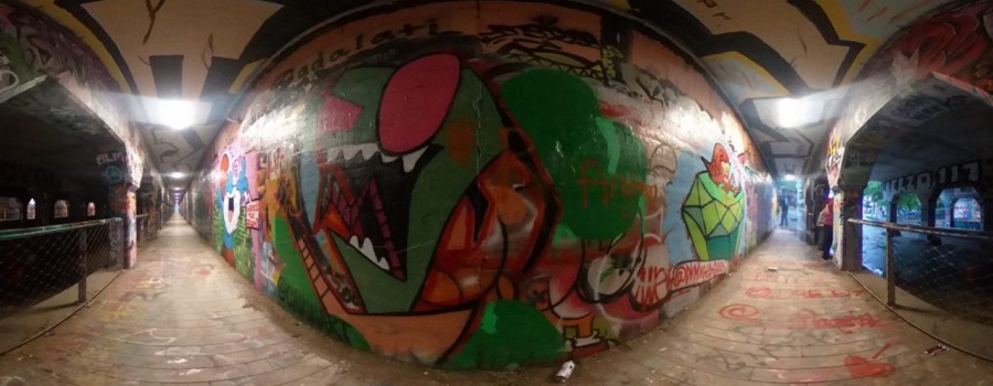
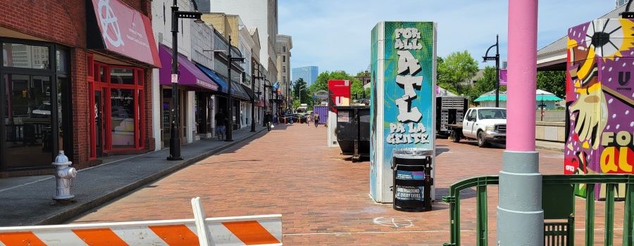
Krog Codex: Archive of Krog Street Tunnel
A Community Interactive Digital Archive. Krog Street Tunnel is one of Atlanta’s premier destinations for street art, political communication, and a community bulletin board. Since...
Read More

Unpacking Manuel’s Tavern
Aims to both preserve this unintentional archive as it was before Manuel’s Tavern underwent renovations in 2015 and provide a platform through which one might...
Read More
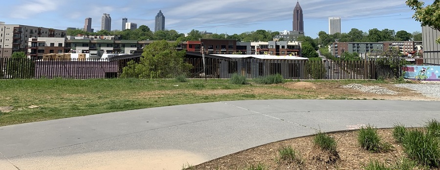
Beltline: A History of the Atlanta Beltline and its Associated Historic Resources
Prepared by the Spring 2006 Preservation Planning students. This project, developed in a collaborative effort by the Atlanta Urban Design commission and GSU students, was...
Read More
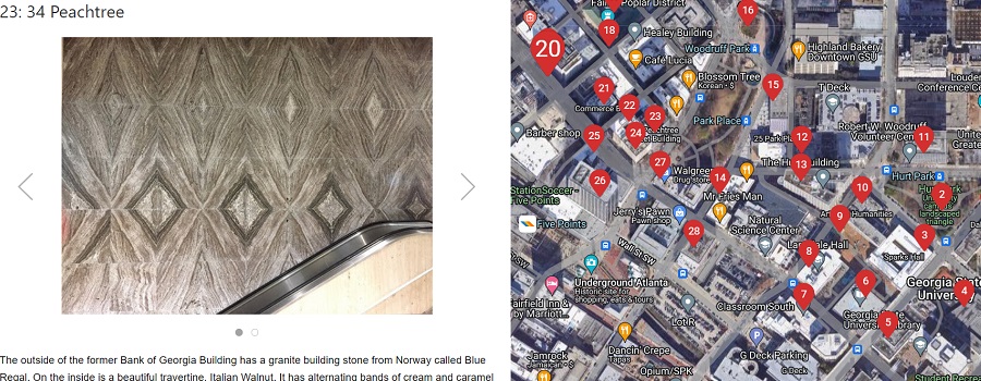
Atlanta Geology Walking Tour
Granite, limestone, and marble building stones are found in a 20-block area that is centered around the beginning of Peachtree Street. These three commercial types...
Read More
Underground Atlanta Historic District Nomination
National Register of Historic Places Inventory nomination form submitted in 1980. Originally, the two-and-a-half-block area of the Underground district was a part of the larger...
Read More