Format: Interactive Map
Featured

Tracing Almeta
Mapping Atlanta’s Jim Crow Era Women’s Basketball Community. During the era of legalized segregation, Black Atlantans created their own economic, educational, and recreational institutions. In...
Read More

Rap Map
Celebrating 50 years of hip-hop! The Rap Map visualizes metro Atlanta’s influence on hip-hop and hip-hop’s influence on the region over the last three decades....
Read More

Atlanta Sit-Ins, 1961-1964
Beginning in 1960, the Atlanta sit-in movement took over the downtown area of the city. Follow this tour to see where student activists conducted their...
Read More

Atlanta Water Walk
How water has shaped the city. Video tour with urban designer and author Hannah Palmer. Palmer’s writing explores the intersection of Southern stories and urban...
Read More

ATLMaps
The ATLMaps platform, a collaboration between Georgia State University and Emory University, combines archival maps, geospatial data visualization, and user contributed multimedia location pinpoints to...
Read More

Downtown Folk Tour
Recorded stories from Dr. John Burrison, Folklorist and Professor of English at Georgia State University, who has collected stories of folk music, pottery, legends, medicine,...
Read More
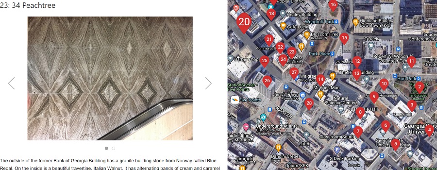
Atlanta Geology Walking Tour
Granite, limestone, and marble building stones are found in a 20-block area that is centered around the beginning of Peachtree Street. These three commercial types...
Read More

A History of Radio Broadcasting in Georgia: Exploring Georgia Radio
Documents the history of radio broadcasting in the state of Georgia over a 50 year period from its inception in 1922 through the 1970s, including...
Read More
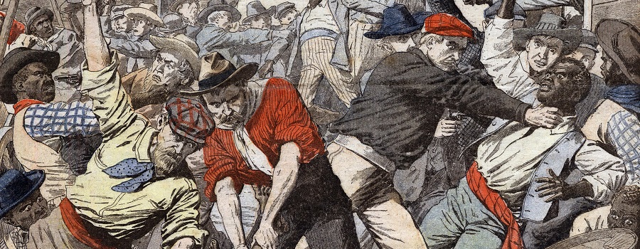
Veiled Visions: The 1906 Race Riot
Tells the story of the 1906 Race Riot, a three-day massacre that spread through Atlanta, starting downtown on Saturday, September 22 and ending with the...
Read More
Once Upon a Time in Atlanta
The purpose of this tour is to have students explore some of the locations on or near GSU’s campus in Raymond Andrews’ memoir Once Upon...
Read More