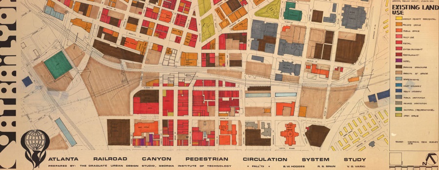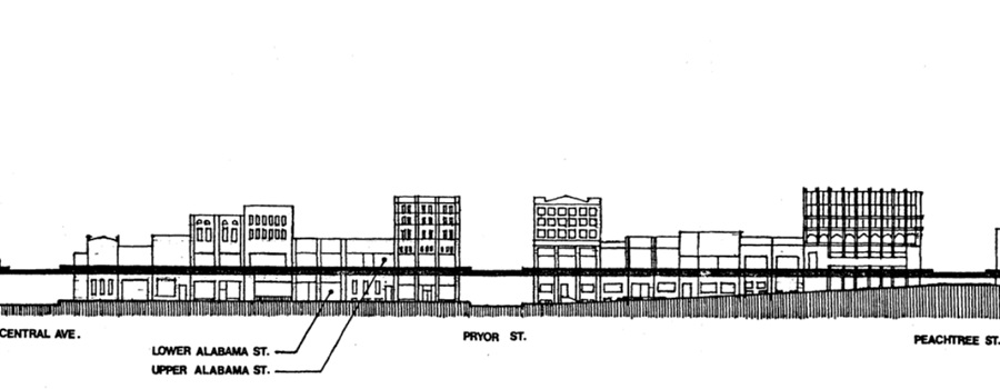
National Register of Historic Places Inventory nomination form submitted in 1980. Originally, the two-and-a-half-block area of the Underground district was a part of the larger gateway to the city. The history of this gateway to Atlanta mirrors the dynamic growth of the city as it expanded from a railroad and pedestrian town of the mid-nineteenth century into a regional automobile and air metropolis of the late-twentieth century. The Underground Atlanta Historic District consists of several components: an approximately two-block area of buildings bounded by Alabama Street, Central Avenue, Peachtree Street, and the rear lot lines of properties along the north side of Martin Luther King, Jr. Drive; viaducts on Central, Pryor, Alabama and Wall streets; store fronts along the north side of Alabama Street below the viaduct; the Georgia Railroad Freight Depot at the east end of Alabama Street; and the Zero Mile Post under the Central Avenue viaduct.
- Visit Resource
- Underground Atlanta Historic District Nomination
- Creator
- Timothy Crimmins, Professor of History, GSU, and Richard Cloues, Architectural Historian
- Format
- Category
- Policy & Planning
- Share