Archived by the Wayback Machine. Not all layers or content may load.
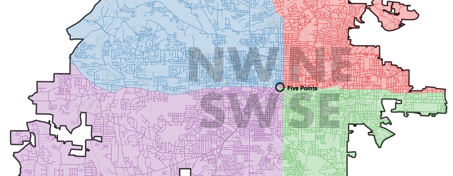
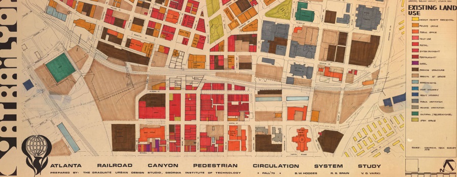
Created in Classic Esri Story Maps, a platform retired in 2026. This project visualizes the transformations of Atlanta’s public transit system over the last 100 years. By highlighting the routes that have been proposed in the development of these systems, this project aims to contribute to larger discussions taking place around the topic of public transit in Atlanta. The displayed map layers were georeferenced from planning documents available through GSU’s Planning Atlanta collection. These historical, paper maps often served general planning purposes and therefore were not created with attention to precise geographical accuracy. While map layers represented here accurately reflect rail transportation routes displayed by planning documents, please be advised that the map layers accessible from this page have limited geographical accuracy and do not necessarily align with one another.
- Visit Resource
- Tracing a History of Atlanta’s Public Transit
- Creator
- Team of Student Innovation Fellows at Georgia State University working within the University Library's CURVE lab during the 2014-2015 academic year, including Shakib Ahmed, BS Computer Science, Wasfi Momen, BS Computer Science, Alexandra Orrego, BS Geosciences minor in Computer Science, Nicole Ryerson, MS Geosciences, and Amber Boll, MS Geosciences, under the direction of Joseph Hurley, Data Services and GIS Librarian
- Format
- Category
- Policy & Planning
- Share