Tag: Transportation
Featured
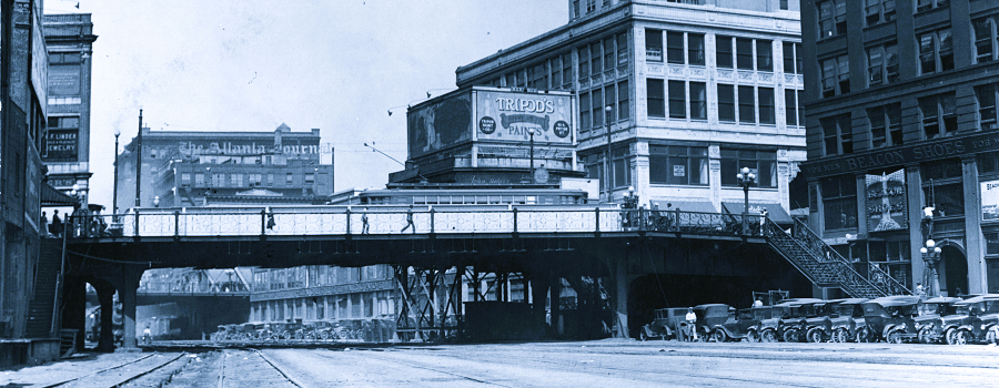
The Elevated City
Atlanta, a new city established by the railroads in the 19th century and transformed by the automobile in the 20th century, was built first for...
Read More

Atlanta Rail Corridor Archive
Archived by the Wayback Machine. Traces the history of the historic rail corridor that is currently under redevelopment as the Atlanta BeltLine. This site showcases...
Read More
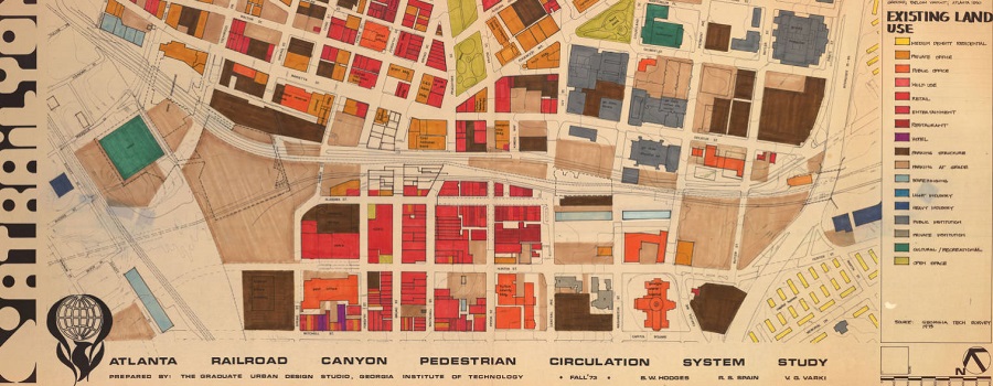
Planning Atlanta – A New City in the Making, 1930s-1990s
Digital collection of material related to city planning and urban development in Atlanta. The collection consists of city planning maps, city planning publications, demographic data,...
Read More
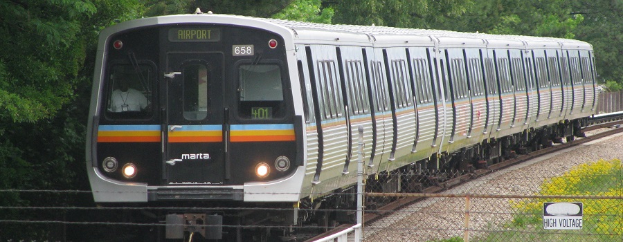
Tracing a History of Atlanta’s Public Transit
Archived by the Wayback Machine. Not all layers or content may load. Created in Classic Esri Story Maps, a platform retired in 2026. This project...
Read More

Research Atlanta, Inc. Reports
Formed in 1971, Research Atlanta was a non-profit organization established to study public policy issues affecting the Atlanta metropolitan area. Research Atlanta served as Atlanta’s...
Read More
Sprawling of Atlanta: Visualizing Metropolitan Area Change, 1940s to Present
Interactive web map created by Georgia State University Library that invites researchers, students, and the public to visualize the extensive built environment and demographic changes...
Read More

Rhodes Center
Located in Midtown between Peachtree Street and Spring Street and constructed from September 1937 to June 1938, Rhodes Center was Atlanta’s first modern shopping center...
Read More