All Resources
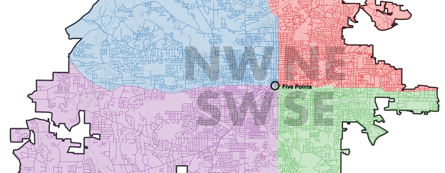
Mapping Atlanta
GSU professor Taylor Shelton’s blog exploring all of Atlanta’s oddities and inequalities with maps. Issues covered are fundamentally about geography, about how places are the...
Read More
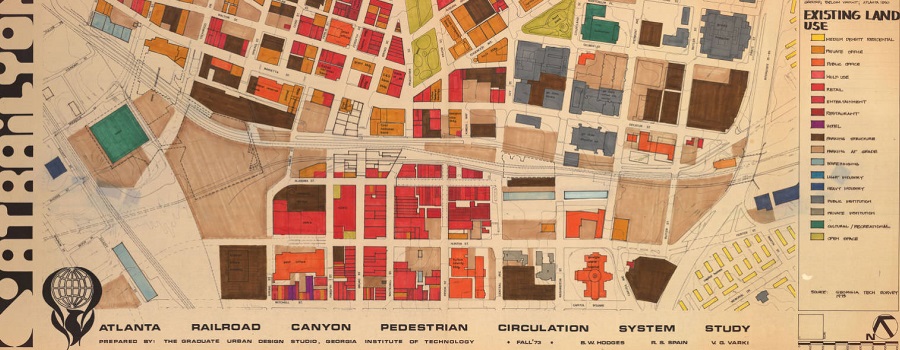
Planning Atlanta – A New City in the Making, 1930s-1990s
Digital collection of material related to city planning and urban development in Atlanta. The collection consists of city planning maps, city planning publications, demographic data,...
Read More
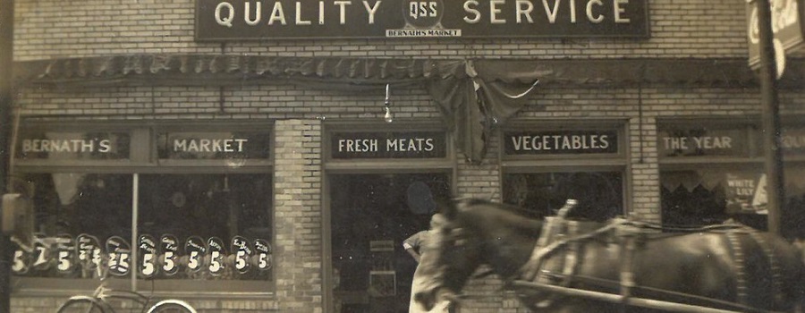
Streetscape Palimpsest: A History of Georgia Avenue
Archived by the Wayback Machine. Scheduled for relaunch in Fall 2026. Digital project that investigates the history of Georgia Avenue, which once served as an...
Read More

Atlanta Sit-Ins, 1961-1964
Beginning in 1960, the Atlanta sit-in movement took over the downtown area of the city. Follow this tour to see where student activists conducted their...
Read More
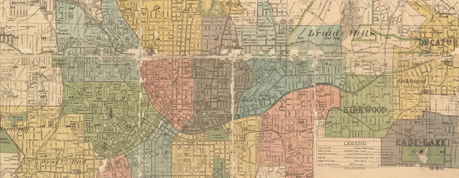
Atlanta-Fulton Public Library Collection: Maps
This digital collection contains digitized versions of items that are owned by the Atlanta-Fulton Public Library. Currently, the collection contains historical maps, dating from the...
Read More

Atlanta Water Walk
How water has shaped the city. Video tour with urban designer and author Hannah Palmer. Palmer’s writing explores the intersection of Southern stories and urban...
Read More

ATLMaps
The ATLMaps platform, a collaboration between Georgia State University and Emory University, combines archival maps, geospatial data visualization, and user contributed multimedia location pinpoints to...
Read More
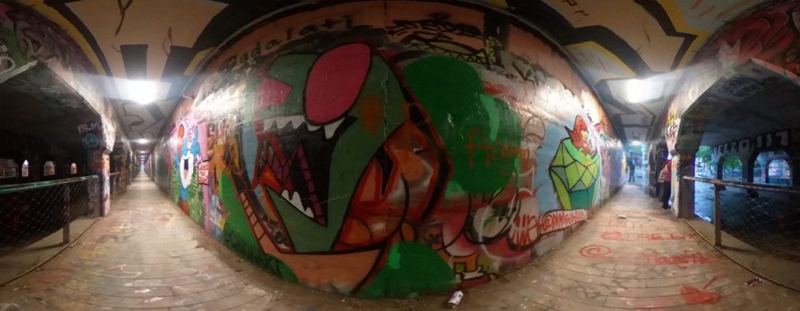
Krog Codex: Archive of Krog Street Tunnel
A Community Interactive Digital Archive. Krog Street Tunnel is one of Atlanta’s premier destinations for street art, political communication, and a community bulletin board. Since...
Read More
Unpacking Manuel’s Tavern
Aims to both preserve this unintentional archive as it was before Manuel’s Tavern underwent renovations in 2015 and provide a platform through which one might...
Read More
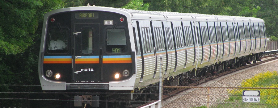
Tracing a History of Atlanta’s Public Transit
Atlanta, originally named Terminus, has a profound history which is extensively intertwined with transit. This project visualizes how the city’s public transit system, now a...
Read More

A Race Against Time: Saving Atlanta’s Photographic History
Online exhibit feature photographs and negatives from Georgia State University’s Special Collections and Archives, consisting of images from six photographic collecting areas: Lane Brothers Commercial...
Read More
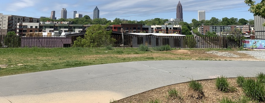
Beltline: A History of the Atlanta Beltline and its Associated Historic Resources
Prepared by the Spring 2006 Preservation Planning students. This project, developed in a collaborative effort by the Atlanta Urban Design commission and GSU students, was...
Read More