Format: Multimedia

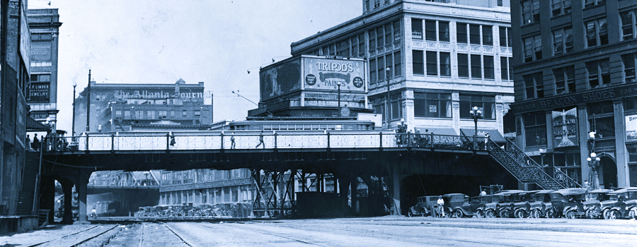
Atlanta Rail Corridor Archive
Archived by the Wayback Machine. Traces the history of the historic rail corridor that is currently under redevelopment as the Atlanta BeltLine. This site showcases...
Read More
Featured
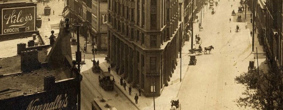
The Elevated City
Atlanta, a new city established by the railroads in the 19th century and transformed by the automobile in the 20th century, was built first for...
Read More
Featured
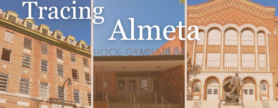
Tracing Almeta
Mapping Atlanta’s Jim Crow Era Women’s Basketball Community. During the era of legalized segregation, Black Atlantans created their own economic, educational, and recreational institutions. In...
Read More
The Histories of Our Streets
Georgia State University students map Atlanta’s past. This website is produced by Dr. Marni Davis and her students at the downtown Atlanta campus of Georgia...
Read More

ATLMaps
The ATLMaps platform, a collaboration between Georgia State University and Emory University, combines archival maps, geospatial data visualization, and user contributed multimedia location pinpoints to...
Read More
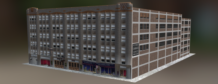
Kell Hall: Capturing the Legacy
Archived by the Wayback Machine. Originally built in 1925 as one of the first parking garages in the city, the Ivy Street Garage was renovated...
Read More