Tag: Downtown
Featured
GSU Ramps Up: Kell Hall and the Rise of an Urban Campus
Originally Atlanta’s first modern parking garage, Kell Hall began as a 1920s “automobile hotel” and later became Georgia State’s first permanent building, illustrating urban ambition,...
Read More
Featured
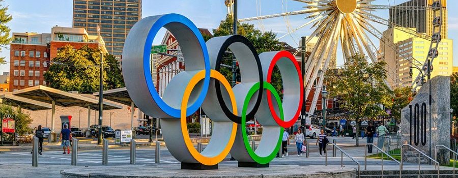
The Phoenix Rises: Atlanta’s Olympic Journey
The September 1990 announcement that Atlanta would host the 1996 Olympics surprised and thrilled many Atlantans. The ’96 Summer Games would mark the 100th anniversary...
Read More
Featured
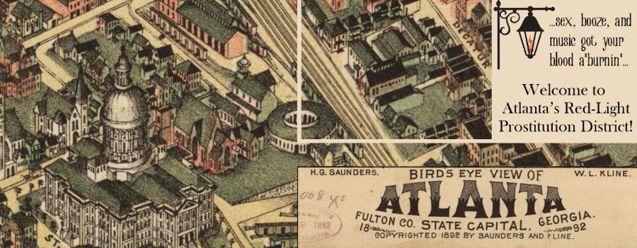
Historic Harlots of Old Atlanta
Digital tour of the rise and fall of the bawdy brothels that lined Downtown Atlanta’s Collins Street from the late 1800s to the early 1900s—showcasing...
Read More
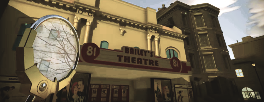
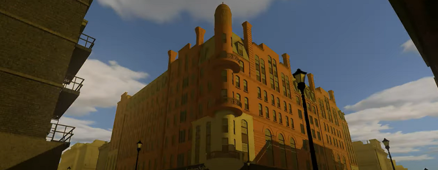
3D Atlanta Chronolens: A Future Peeking Device
GSU student 3D Atlanta visualization project. Here, including a demo of a “future-peeking” device allowing users to see downtown Atlanta streets in 2017, and as...
Read More
The Histories of Our Streets
Georgia State University students map Atlanta’s past. This website is produced by Dr. Marni Davis and her students at the downtown Atlanta campus of Georgia...
Read More
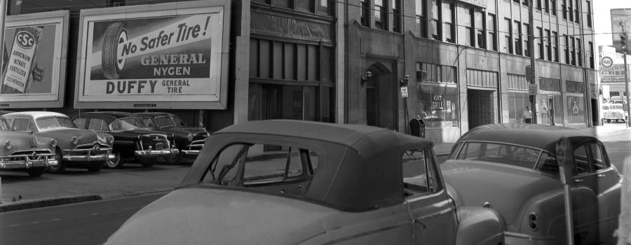
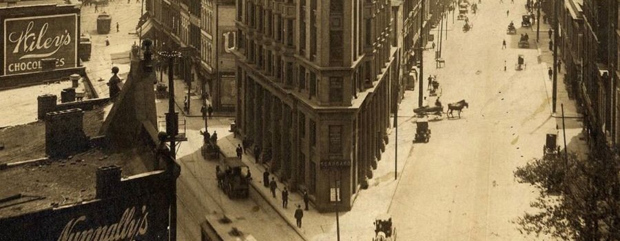
Before Underground
Within Georgia State University Library’s digital collections can be found a series of approximately 100 photographs depicting downtown Atlanta streets in 1927, focusing mainly on...
Read More
3D Atlanta of the 1920s Demo
This student project allows users to experience Atlanta as it was in the 1920s, including many historically accurate buildings modeled from photos taken at the...
Read More