Tag: Data
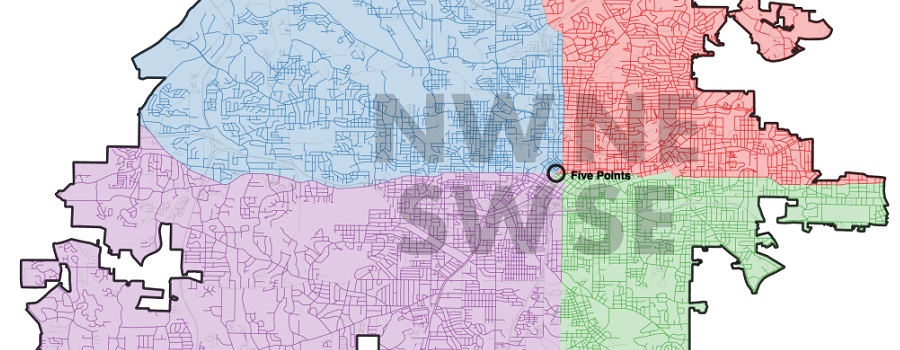
Mapping Atlanta
GSU professor Taylor Shelton’s blog exploring all of Atlanta’s oddities and inequalities with maps. Issues covered are fundamentally about geography, about how places are the...
Read More

ATLMaps
The ATLMaps platform, a collaboration between Georgia State University and Emory University, combines archival maps, geospatial data visualization, and user contributed multimedia location pinpoints to...
Read More

Research Atlanta, Inc. Reports
Formed in 1971, Research Atlanta was a non-profit organization established to study public policy issues affecting the Atlanta metropolitan area. Research Atlanta served as Atlanta’s...
Read More

Sprawling of Atlanta: Visualizing Metropolitan Area Change, 1940s to Present
Interactive web map created by Georgia State University Library that invites researchers, students, and the public to visualize the extensive built environment and demographic changes...
Read More