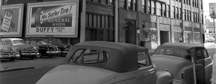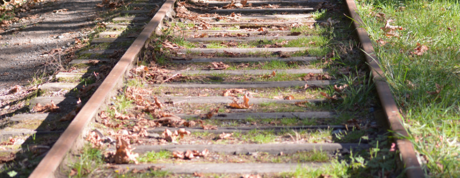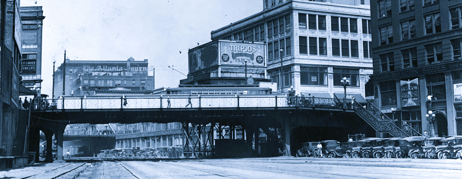
Atlanta, a new city established by the railroads in the 19th century and transformed by the automobile in the 20th century, was built first for the movement of goods and then later for people, not unlike most industrial U.S. cities. As the city managed tremendous growth and the rise of the automobile, city planners and visionaries sought to alleviate traffic and safety concerns at the city’s numerous rail crossings by building a series of viaducts and raised streets, thus creating an “elevated city” in portions of downtown. This idea spread as city planners envisioned a platform city where automobiles, streetcars, and pedestrians could move freely on elevated concrete and steel platforms above the “grimy” and “smoky” congestion-causing railway lines. Today’s Underground Atlanta is a result of such initiatives, namely the twin viaducts project of 1927-1929, which elevated the streets around then Union Station (1871-1930) in the heart of downtown. During this time, one visionary architect, Haralson Bleckley, championed the idea of an extended raised city plaza to cover much downtown, a dream that was never realized. Later in the 1960s, a new university for downtown Atlanta, Georgia State College (now University), developed plans to build a “Plaza Campus” with elevated pedestrian platforms above the noise and inconvenience of city traffic. Other visionary architects followed, envisioning Atlanta as an elevated city of the future. While these plans may have been forward thinking, many were also aligned with, if not partially driven by, urban renewal efforts of city leaders. More recently, ambitious urban revitalization projects such as Centennial Yards, which will transform Atlanta’s railroad Gulch, and The Stitch, with plans to cover the multi-lane interstate Connector from Downtown to Midtown, seek to connect people and communities on elevated plazas and platforms above Atlanta’s “least attractive” (The Gulch) and most congested (Downtown Connector) areas — or as Bleckley put it in 1915 in describing Atlanta’s railway tracks and yards, “the grimy chasm that scars Atlanta’s beauty.”
- Visit Resource
- The Elevated City
- Creator
- Bryan Sinclair, Associate Dean for Public Services, Georgia State University Library, with layout and design assistance from Jon Bodnar, Library Technology Project Manager, and Jessica Brooks, Master of Heritage Preservation student, Georgia State University
- Format
- Category
- Arts & Culture
- Related Content
-
Wheatley, Thomas. "The viaducts that lifted Atlanta above its railroads." Axios Atlanta, Sept. 18, 2025
See other GSU Library exhibits at exhibits.library.gsu.edu
- Share