The purpose of this tour is to have students explore some of the locations on or near GSU’s campus in Raymond Andrews’ memoir Once Upon a Time in Atlanta (Chattahoochee Review, v18, n2, 1998) and to provide some information about the Sweet Auburn District, the setting for most of the memoir. The tour is not meant to be an official tour of the Sweet Auburn District.
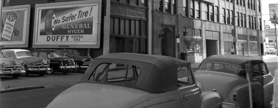
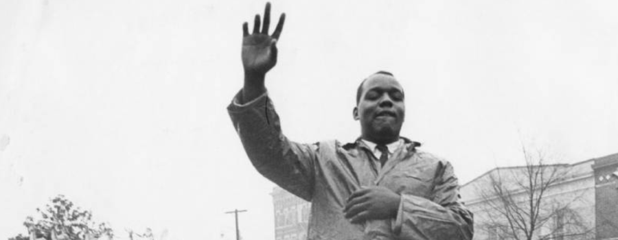
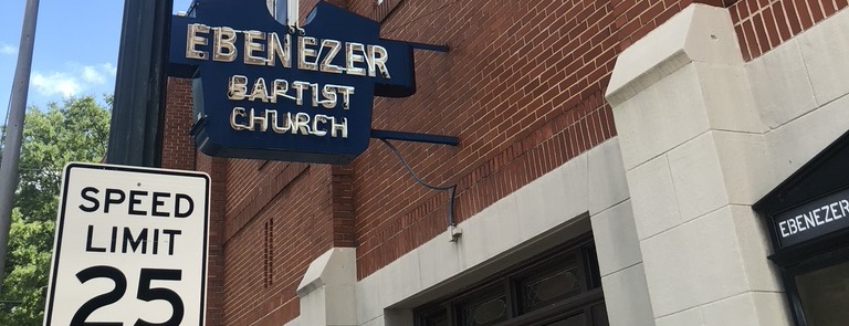
Raymond Andrews came to Atlanta in 1949, when he was 15 years old, to attend high school and work. While he went to school and worked outside of the neighborhood, Andrews lived in Sweet Auburn. This area was often considered the wealthiest African American business district in the U.S. for much of the early to mid-twentieth century. Andrews was here during the area’s heyday. Sweet Auburn developed after the 1906 Atlanta Race Massacre as black businesses moved out of the more integrated downtown area to avoid growing racial tensions during the rise of the Jim Crow era. For decades, the area was a prosperous foundation for African American business, culture, and leadership. The neighborhood played a significant role in the Civil Rights Movement, and is now home to many historic landmarks.
In the late twentieth century, the Sweet Auburn District faced many economic hardships after an interstate was built dividing the neighborhood, white flight to the suburbs, and the displacement of many African American neighborhoods by Urban Renewal. For the past few decades, the neighborhood has often been listed as one of the most endangered historic places in the country. As GSU grows, our campus has moved increasingly into Sweet Auburn.
Related resource
ATLMaps – https://atlmaps.org
- Visit Resource
- Once Upon a Time in Atlanta
- Creator
- Faculty Advisor Brennan Collins for his PERS 2002 course at Georgia State University. Parts of the tour were borrowed from the Raymond Andrews map layer from ATLMaps.org created by Ashley Cheyemi McNeil.
- Format
- Category
- Arts & Culture
- Share