digATLThe Digital Atlanta Portal

Projects, collections, and data about the metro area produced by Georgia State University faculty, staff, and students working with and within their communities. More ...

Atlanta-Fulton Public Library Collection: Maps

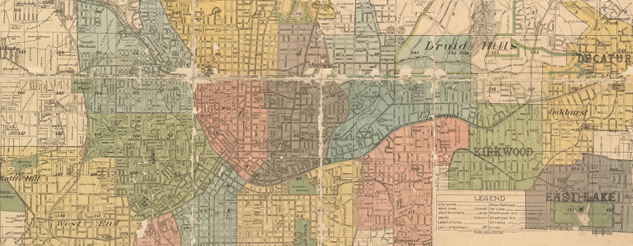
This digital collection contains digitized versions of items that are owned by the Atlanta-Fulton Public Library. Currently, the collection contains historical maps, dating from the 1850s to the 1980s, of Atlanta and the surrounding area. The maps were created by a variety of entities and for various purposes. More content is expected to be added to this collection in the future.

Creator
Georgia State University Library, Special Collections & Archives
Category
Arts & Culture
Share

More Arts & Culture Resources

  • The Histories of Our Streets

    Georgia State University students map Atlanta’s past. This website is produced by Dr. Marni Davis and her students at the downtown Atlanta campus of Georgia...

  • Before Underground

    Within Georgia State University Library’s digital collections can be found a series of approximately 100 photographs depicting downtown Atlanta streets in 1927, focusing mainly on...

  • 3D Atlanta of the 1920s Demo

    This student project allows users to experience Atlanta as it was in the 1920s, including many historically accurate buildings modeled from photos taken at the...

  • Cover image for historic harlots
    Historic Harlots of Old Atlanta

    Digital tour of the rise and fall of the bawdy brothels that lined Downtown Atlanta’s Collins Street from the late 1800s to the early 1900s—showcasing...

  • Rap Map

    Celebrating 50 years of hip-hop! The Rap Map visualizes metro Atlanta’s influence on hip-hop and hip-hop’s influence on the region over the last three decades....